
My favorite place in the world. Click here to view the video
GIVE US YOUR FEEDBACK. CLICK ON “COMMENT” TO TELL US WHAT YOU THINK or use one of the alternative methods for providing feedback.

My favorite place in the world. Click here to view the video
GIVE US YOUR FEEDBACK. CLICK ON “COMMENT” TO TELL US WHAT YOU THINK or use one of the alternative methods for providing feedback.

By Ron Munden
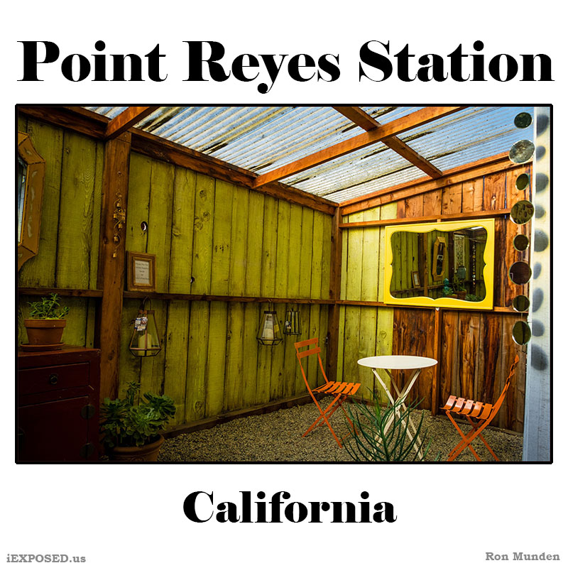
The Point Reyes peninsula is a well defined area, geologically separated from the rest of Marin County and almost all of the continental United States by a rift zone of the San Andreas Fault, about half of which is sunk below sea level and forms Tomales Bay. The fact that the peninsula is on a different tectonic plate than the east shore of Tomales Bay produces a difference in soils and therefore to some extent a noticeable difference in vegetation.
The small town of Point Reyes Station, although not actually located on the peninsula, nevertheless provides most services to it, though some services are also available at Inverness on the west shore of Tomales Bay. The even smaller town of Olema, about 3 miles (4.8 km) south of Point Reyes Station, serves as the gateway to the Seashore and its visitor center, located on Bear Valley Road.
The peninsula includes wild coastal beaches and headlands, estuaries, and uplands. Although parts of the Seashore are commercially farmed, and parts are under the jurisdiction of other conservation authorities, the National Park Service provides signage and seeks to manage visitor impact on the entire peninsula and virtually all of Tomales Bay. The Seashore also administers the parts of the Golden Gate National Recreation area, such as the Olema Valley, that are adjacent to the Seashore.
Take a look at the photos.
By Ron Munden
By Ron Munden
By Ron Munden
By Ron Munden
By Ron Munden
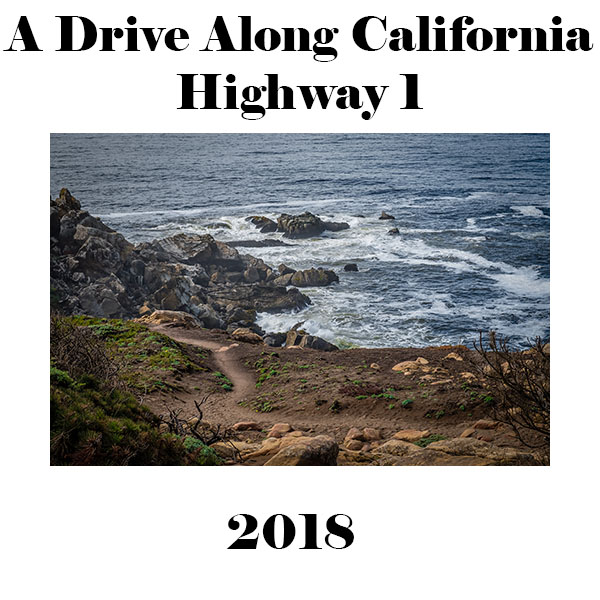
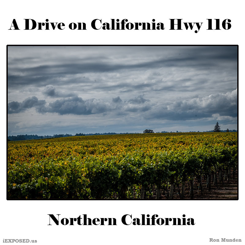
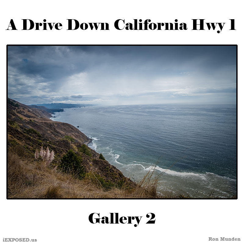
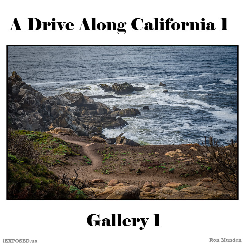
State Route 1 (SR 1) is a major north–south state highway that runs along most of the Pacific coastline of the U.S. state of California. At a total of just over 659 miles (1,061 km), it is the longest state route in California.
The highway is designated as an All-American Road. In addition to providing a scenic route to numerous attractions along the coast, the route also serves as a major thoroughfare in the Greater Los Angeles Area, the San Francisco Bay Area, and several other coastal urban areas.
SR 1 was built piecemeal in various stages, with the first section opening in the Big Sur region in the 1930s. However, portions of the route had several names and numbers over the years as more segments opened. It was not until the 1964 state highway renumbering that the entire route was officially designated as SR 1. Although SR 1 is a popular route for its scenic beauty, frequent landslides and erosion along the coast have caused several segments to be either closed for lengthy periods for repairs, or re-routed inland.
Take a look at the photos.
By Ron Munden
State Route 1 (SR 1) is a major north–south state highway that runs along most of the Pacific coastline of the U.S. state of California. At a total of just over 659 miles (1,061 km), it is the longest state route in California.
The highway is designated as an All-American Road. In addition to providing a scenic route to numerous attractions along the coast, the route also serves as a major thoroughfare in the Greater Los Angeles Area, the San Francisco Bay Area, and several other coastal urban areas.
SR 1 was built piecemeal in various stages, with the first section opening in the Big Sur region in the 1930s. However, portions of the route had several names and numbers over the years as more segments opened. It was not until the 1964 state highway renumbering that the entire route was officially designated as SR 1. Although SR 1 is a popular route for its scenic beauty, frequent landslides and erosion along the coast have caused several segments to be either closed for lengthy periods for repairs, or re-routed inland.
By Ron Munden
By Ron Munden
